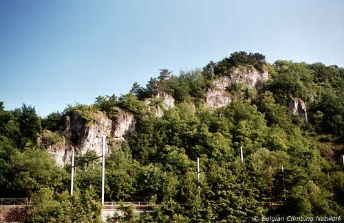
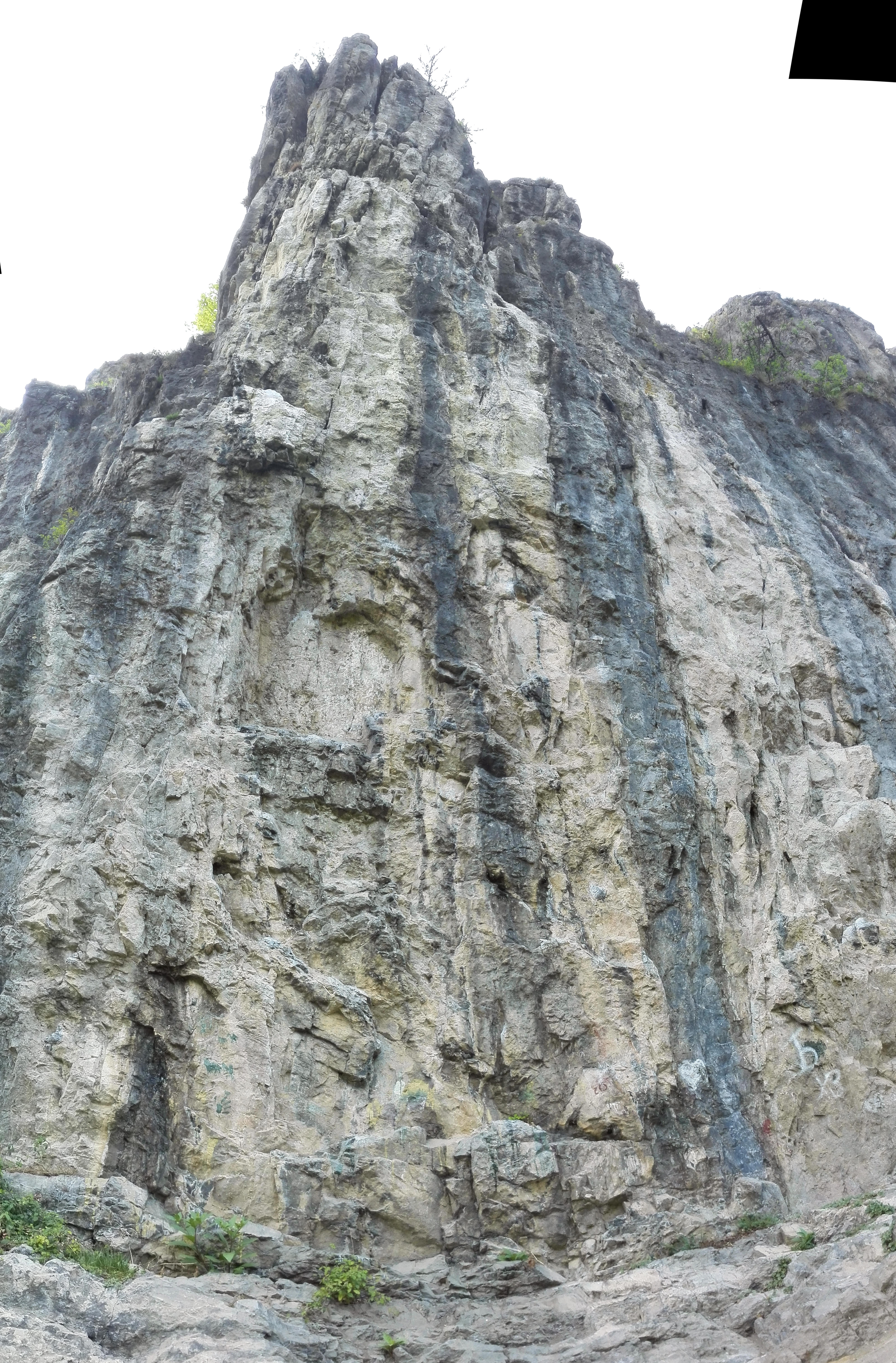
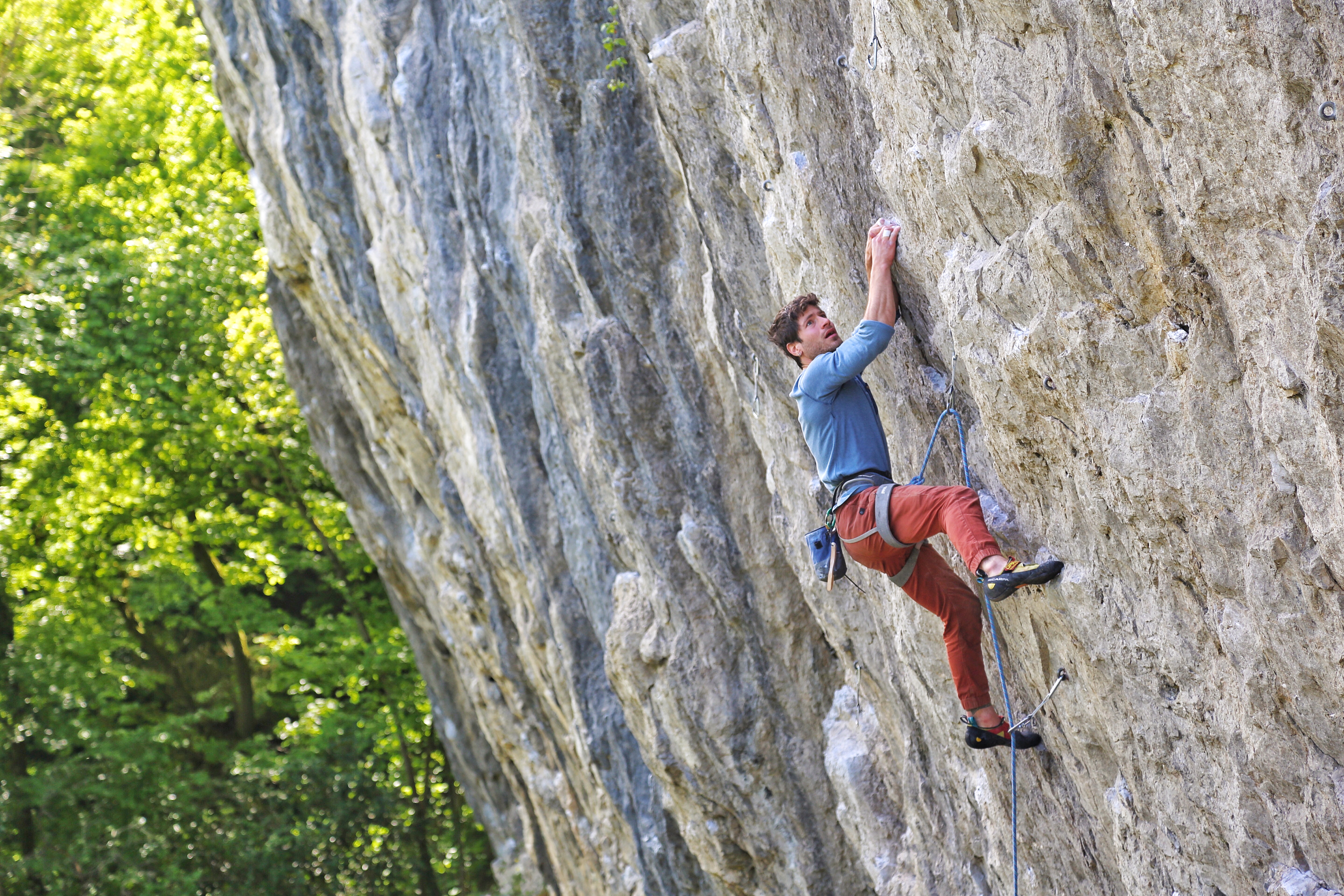
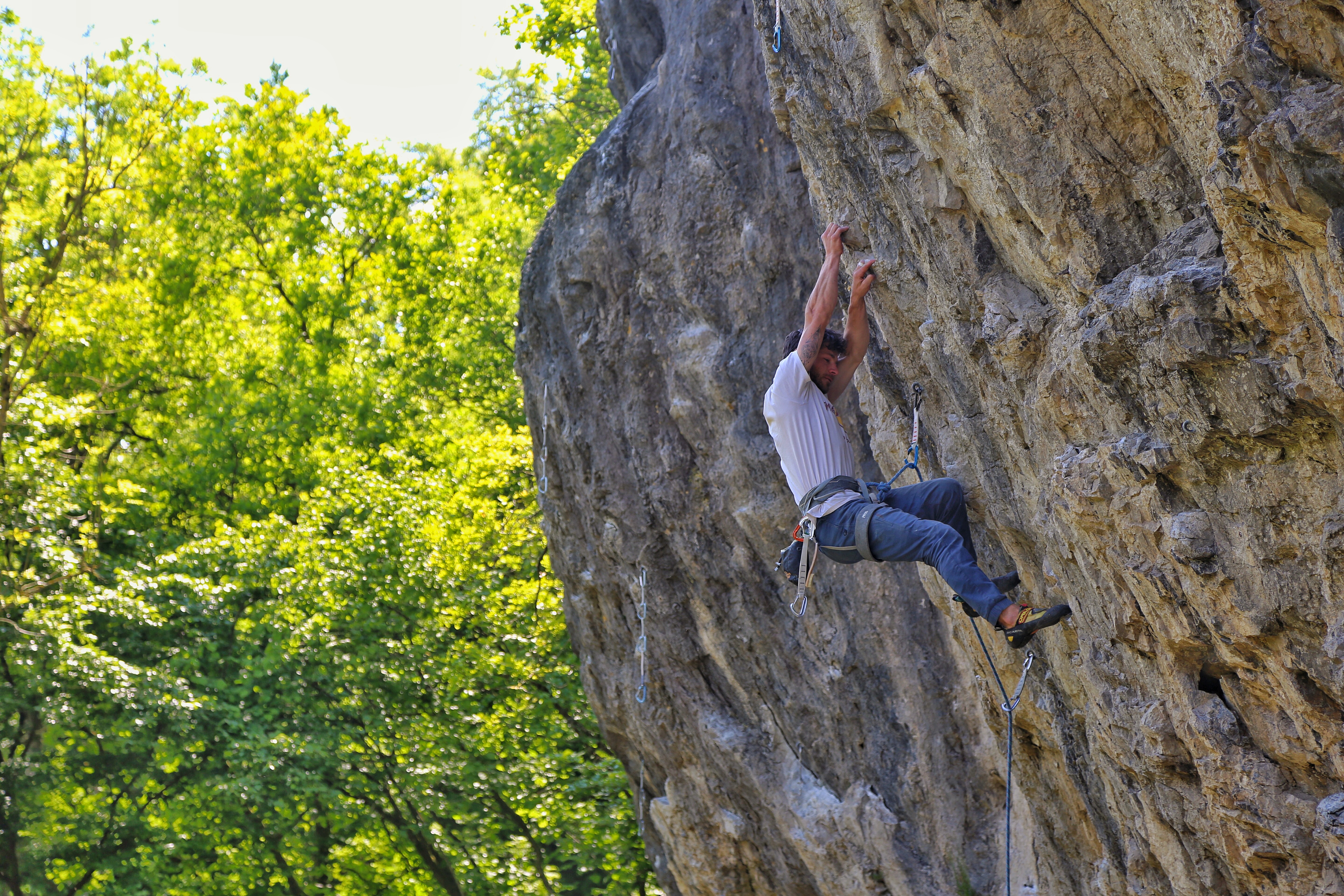
Rochers du Calvaire
- Location: Bomal (Durbuy)
- River: L'Ourthe
- Rock type: limestone
- routes:
- Equipement:
Important!
- Staying in Bomal: Camping International (086/21.22.78)
Most recent repetitions
- 06-07-23 - Tanatloc (7b+) - Julien
- 29-06-22 - Tanatloc (7b+) - koendockx
- 01-06-22 - Lothar (7c) - hoedje van papier
- 21-05-22 - L'Infiniment Songe (7c) - hoedje van papier
- 28-04-22 - Escalier C (7c) - koendockx
Topos, publications, sources
How to get there
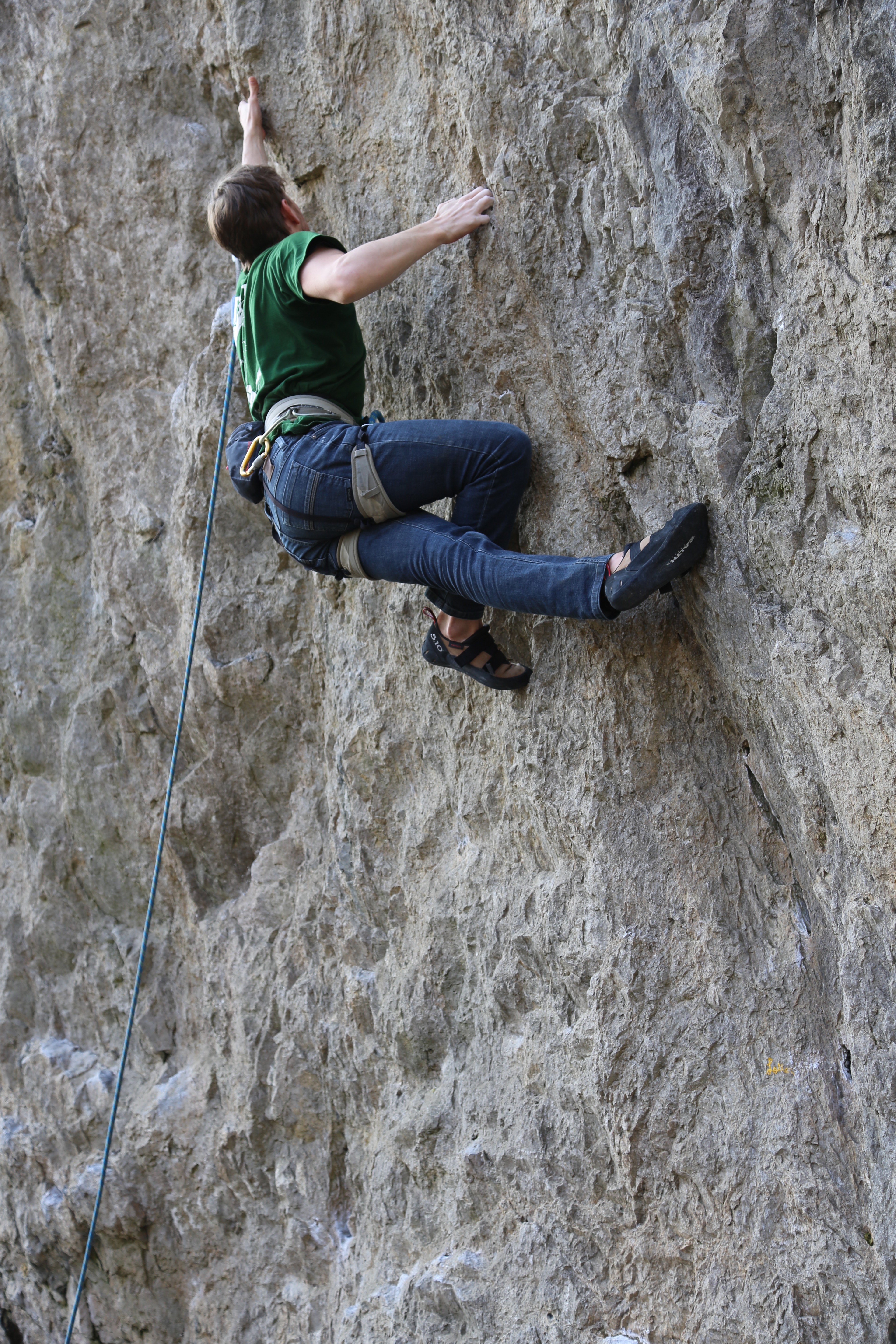
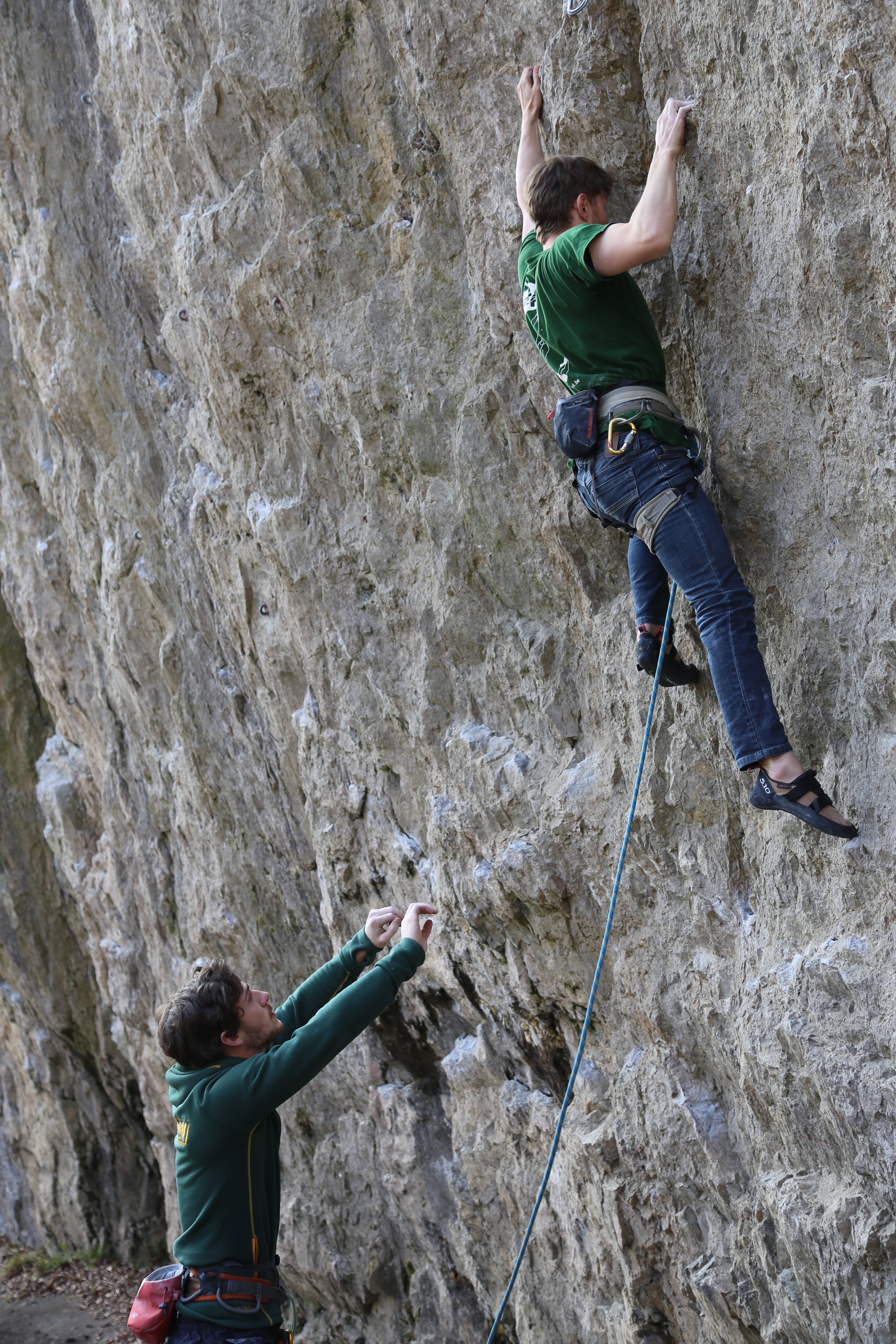
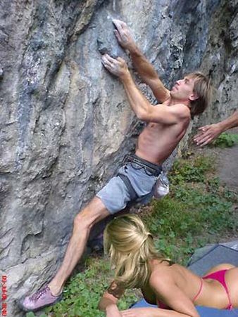
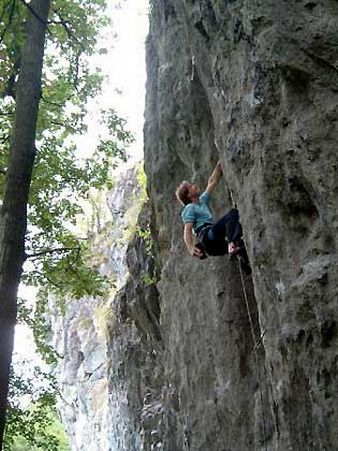
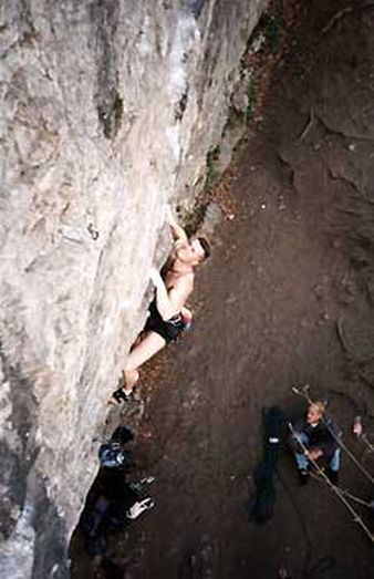
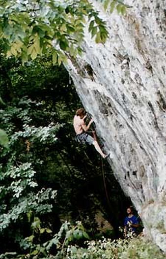
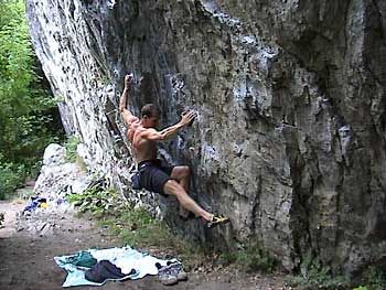
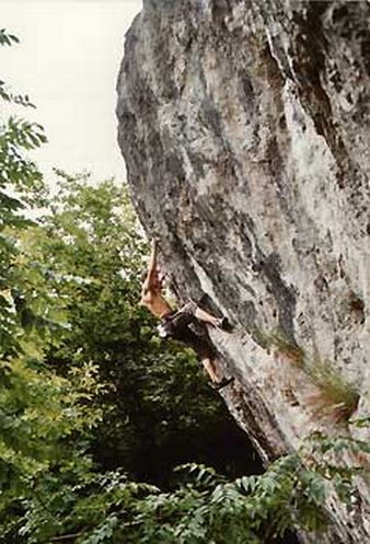
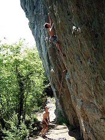
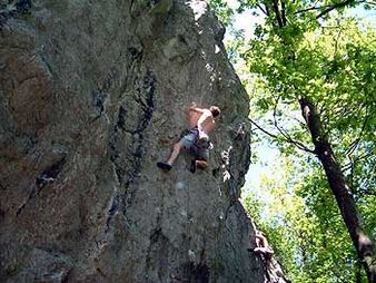
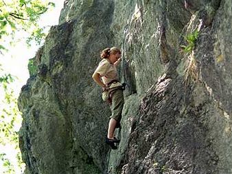
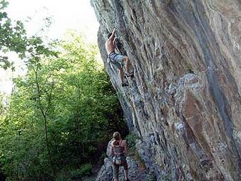
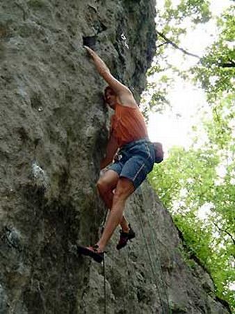
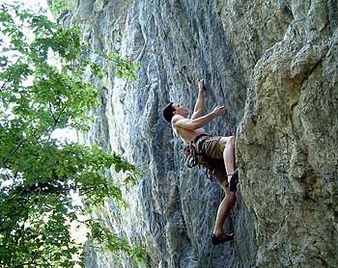
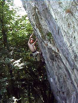
Photos
.JPG)
All routes
Discover every route available on this crag by clicking on the link below.
Sectors
Details
113 routes/pitches/variations
found in the Belclimb database
Sport climbing routes
Boulders
Aid climbing routes
Coordinates
NGI topographical map: 49/5-6Lambert coordinates: X 231.880 Y 119.540
UTM (ED50): 31U 679253E 5584241N
WGS84: 5.5213°E 50.3819°N